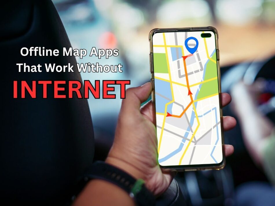
Navigation reliability depends on consistent connectivity, yet millions of travelers, outdoor adventurers, and emergency responders operate in areas where internet coverage disappears. Offline map apps have revolutionized how people navigate remote locations, making exploration feasible and safer across diverse environments.
Understanding Offline Map Technology
Offline map apps function differently from traditional GPS navigation. Instead of streaming map data from cloud servers, these applications store geographic information locally on devices, enabling full functionality without data connections. This approach provides faster load times, reduced battery consumption, and privacy advantages alongside accessibility in connectivity-challenged zones.
The technology has evolved significantly. Modern offline map apps incorporate vector-based mapping (smaller file sizes), elevation data, satellite imagery, and real-time weather overlays—all operational without internet access. Many users combine offline apps with best battery saver apps to maximize exploration time.
Essential Offline Navigation Solutions
MAPS.ME represents the category leader, offering comprehensive offline coverage for 195 countries. Download entire regions preemptively, and users retain fully functional routing, landmark search, and public transportation information. The application supports bookmark management, trip planning, and bookmark synchronization across devices.
Osmand delivers advanced functionality for outdoor enthusiasts and professionals. This open-source offline map apps solution provides topographic information, hiking trail data, and elevation profiles—essential for mountain navigation. Voice-guided navigation works offline, eliminating dependency on cellular connectivity during active navigation.
Gaia GPS specializes in outdoor recreation, combining offline map apps technology with community trail data. Users access millions of community-contributed routes, elevation information, and waypoint data. Subscription options unlock additional features like real-time tracking and cloud storage.
Practical Applications
Adventure travelers appreciate the listed apps for international expeditions where roaming charges would be prohibitive. Hiking and mountaineering communities rely on topographic capabilities for safe navigation. Emergency responders depend on offline functionality during infrastructure disruptions.
Urban professionals use offline map apps while traveling internationally, eliminating expensive roaming data charges. Construction professionals leverage these apps for project site documentation and progress tracking. For additional productivity solutions, explore our best task management apps for iPhone.
Selection Criteria
Choose offline map apps based on: coverage areas relevant to your travel patterns, map data freshness (typically updated monthly), specific feature requirements (topographic data, satellite imagery, public transportation), user interface intuitiveness, and offline route recalculation capabilities. Storage requirements vary significantly. Downloading entire continents might consume 10-15GB, while regional downloads typically require 500MB-2GB depending on detail levels.
Conclusion
Offline map apps have transformed navigation reliability. Whether exploring unmapped regions, managing emergency situations, or simply avoiding international data charges, these applications provide essential functionality without connectivity dependency. Select options matching your specific use cases and geographic requirements for optimal navigation experiences across any environment. For comprehensive app reviews and recommendations, visit our main app review section.